Mapping and Geographic Information Centre
The Mapping and Geographic Information Centre (MAGIC) provides geospatial information, expertise, and services to the British Antarctic Survey (@bas.ac.uk) and wider UK activity in the Polar Regions.
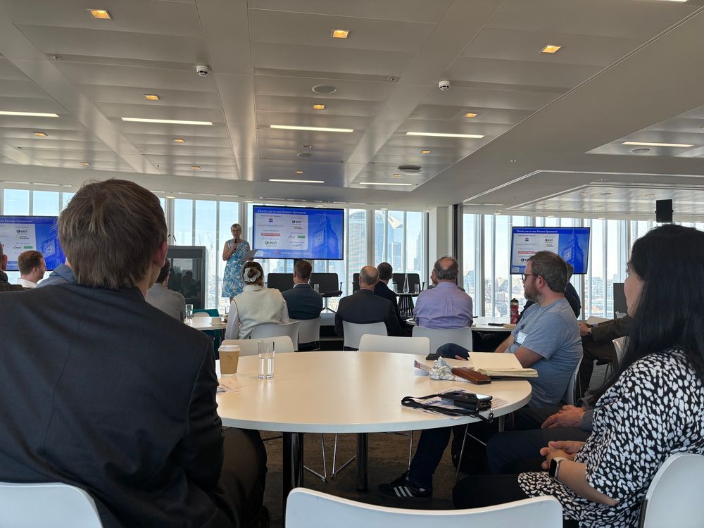
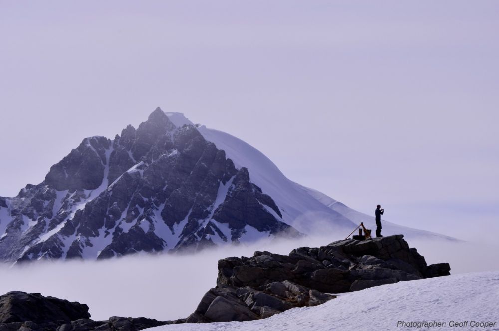
- It has been a busy week for conferences this week! One of our GIS Specialists presented at the IMIA Mapping Leaders Forum in London yesterday. It has been a useful few days talking to some world-leading map publishers and printers and we’ve gained lots of ideas on how we can do more with our maps!
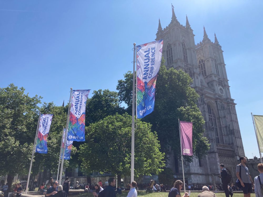
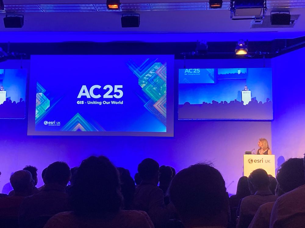
- Some of the MAGIC team are at Esri UK Annual Conference today in London. Give us a shout if you want to chat to us 👋
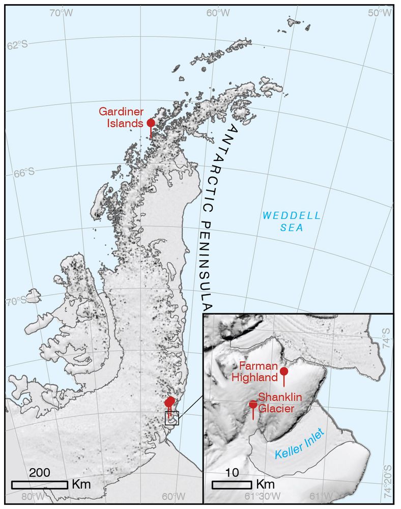
- Did you know the scientists who discovered the ozone hole have places named after them in Antarctica? Farman, Gardiner & Shanklin’s 1985 discovery led to the Montreal Protocol—and now their names live on in a highland, glacier, and islands. Learn more here: apc.antarctica.ac.uk
- The discovery of the ozone hole sparked the most successful environmental movement the world has ever seen 🎉 40 years later, we’ve partnered with the Royal Geographical Society for an evening of talks - including from BAS legend Jon Shanklin. It's on Tuesday. And it's free! rgs.org/ozone
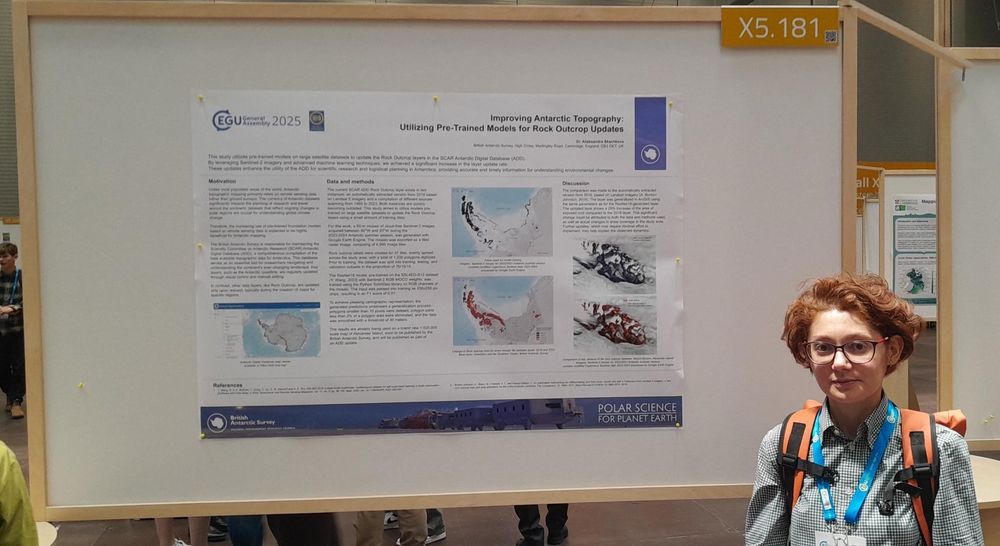
- If you are at #EGU25 this week, there are a lot of people from BAS to say hello to. 👋 Come and check out our poster, presenting an update to Antarctic rock outcrop, at X5. The data has been extracted from Copernicus Sentinel-2 imagery & provides a much needed update in terms of accuracy & currency!
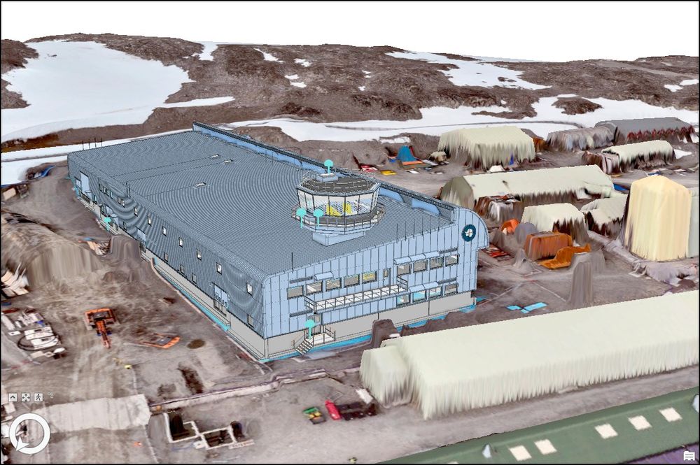
- 📢 We're hiring a GIS Specialist to support the Antarctic Infrastructure Modernisation Programme. This is a really exciting opportunity at the British Antarctic Survey for someone to help us integrate GIS and BIM for infrastructure projects in Antarctica. Details here: shorturl.at/Mf983
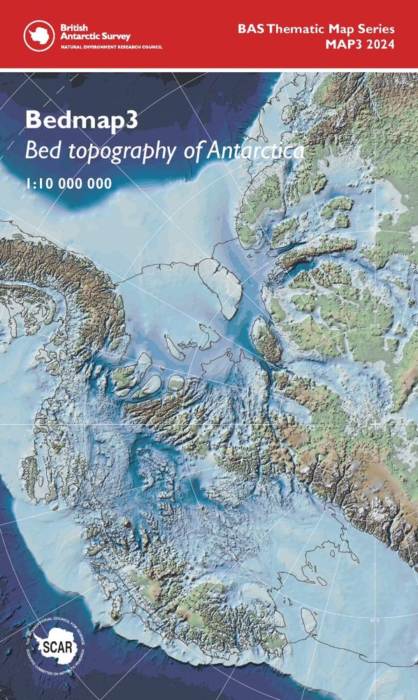
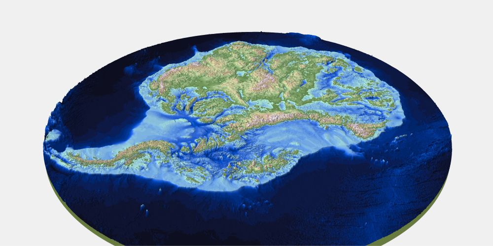
- We have recently added the newly published Bedmap3 data to ArcGIS Online, ensuring that the three main datasets (bed, surface and ice thickness) are easy to access! They are styled using the beautiful colour ramps from the paper and map 🎨 Check them out from here: arcgis.com/home/item.ht...
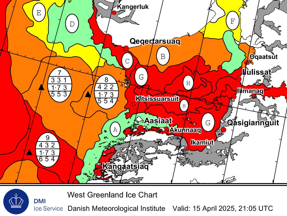
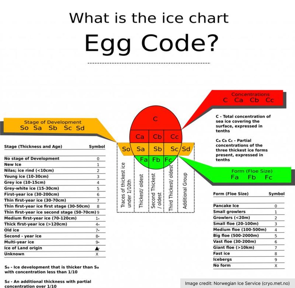
- You might have spotted oval symbols on sea ice charts. They’re not Easter eggs 🐣 — but they 𝘥𝘰 contain something inside: a compact summary of ice concentration, thickness, and floe size.
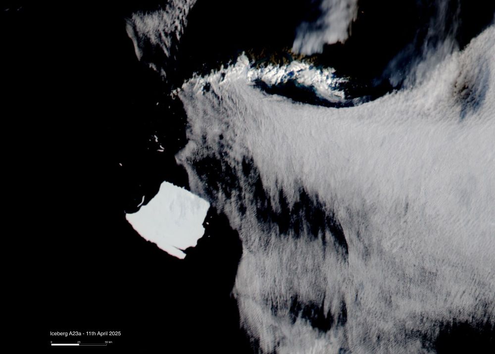
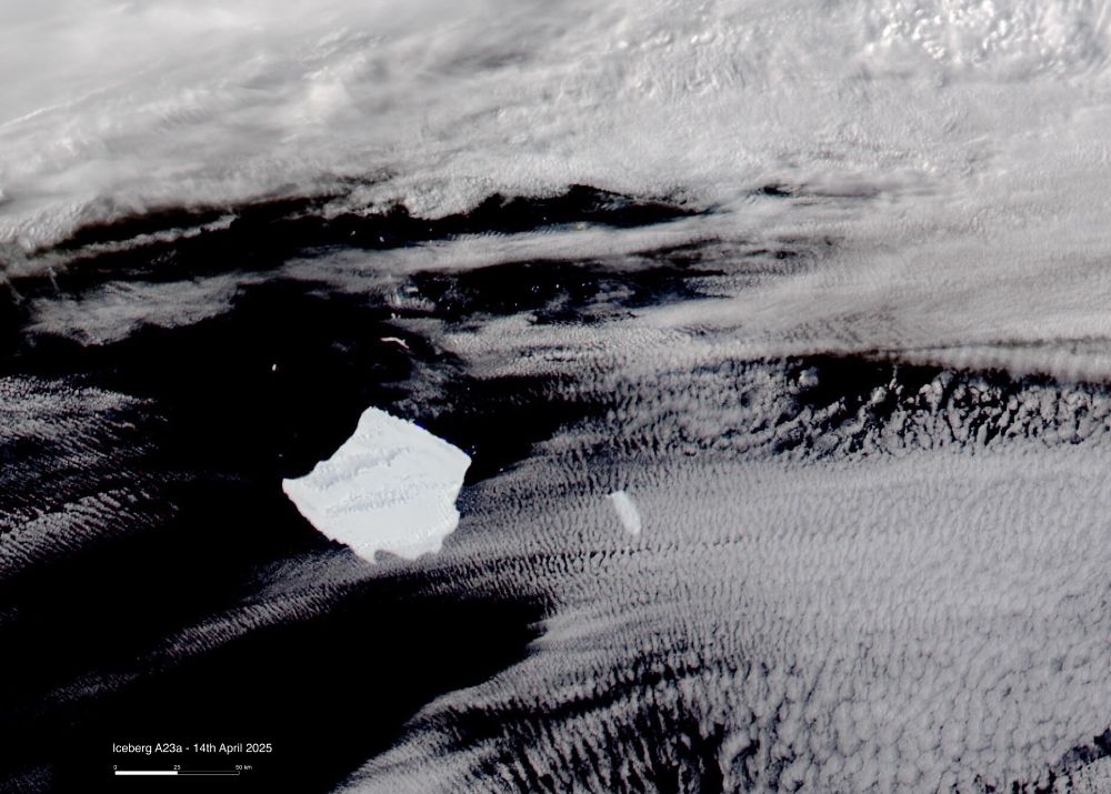
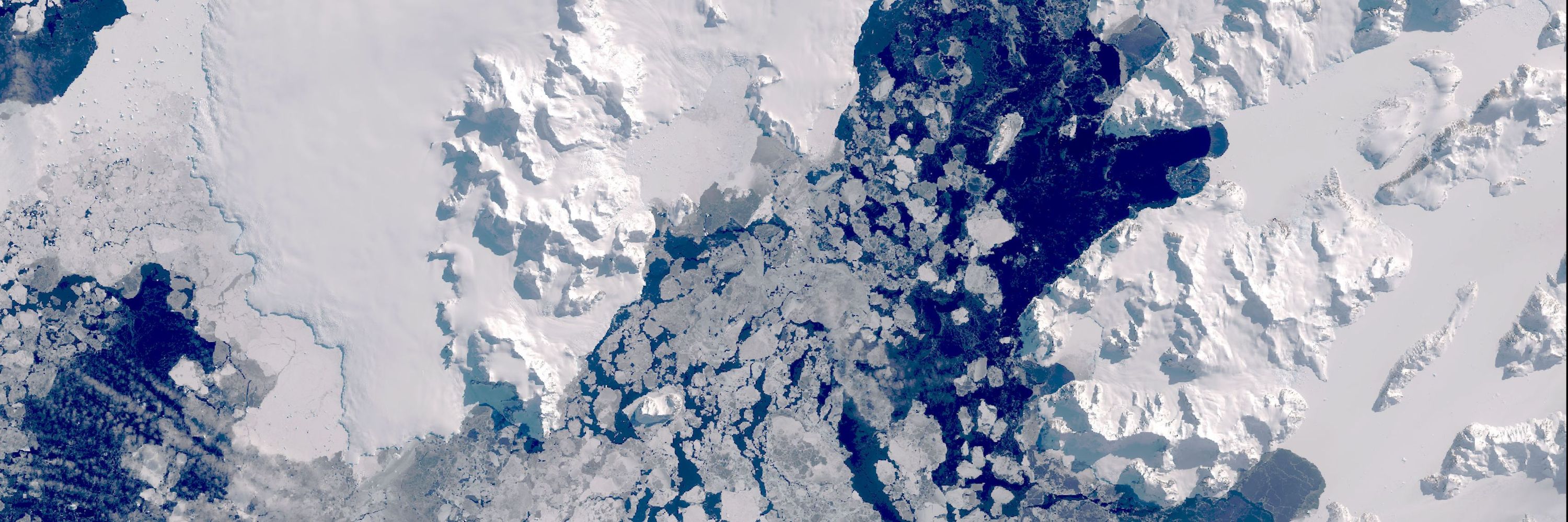
- The cracks are starting to show in iceberg A23a. It has been stuck on the continental shelf near South Georgia since early March, but has now lost a first significant chunk measuring approximately 18 by 8 km. Given its dimensions, this should now be A23c. Satellite imagery from NASA MODIS. 🛰️
- 📢 We are looking for a Geomatics Surveyor to join our team at the British Antarctic Survey. 📢 Are you a surveyor with experience of collecting & managing geospatial survey data? Would you like to get the opportunity to work at Rothera Research Station? Apply today! Details here: shorturl.at/RwAZV
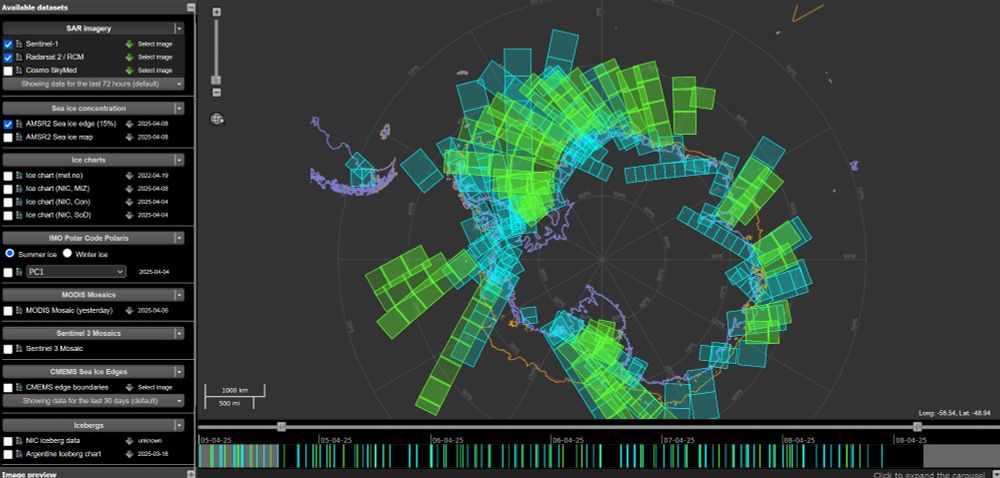
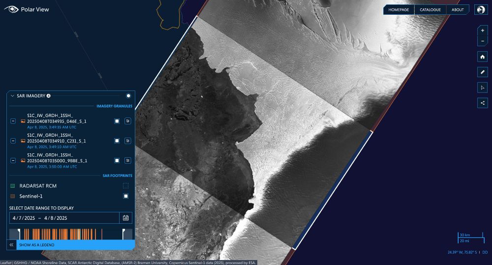
- 🎉 Imagery from the newly launched Sentinel-1C Copernicus satellite is now accessible via Polar View www.polarview.aq and the Ice Logistics Portal www.icelogistics.info/antarctic?ce...! This addition significantly increases the repeatability of SAR observations in the Polar Regions 🛰️
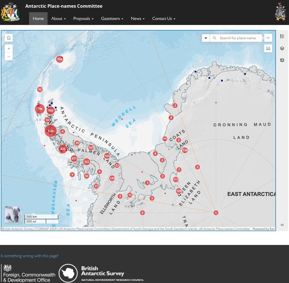
- Busy week for us in MAGIC! We've been preparing papers and maps for the upcoming Antarctic Place-names Committee meeting. We manage the British Antarctic Territory and South Georgia and South Sandwich Islands gazetteers for the FCDO - learn more here: apc.antarctica.ac.uk
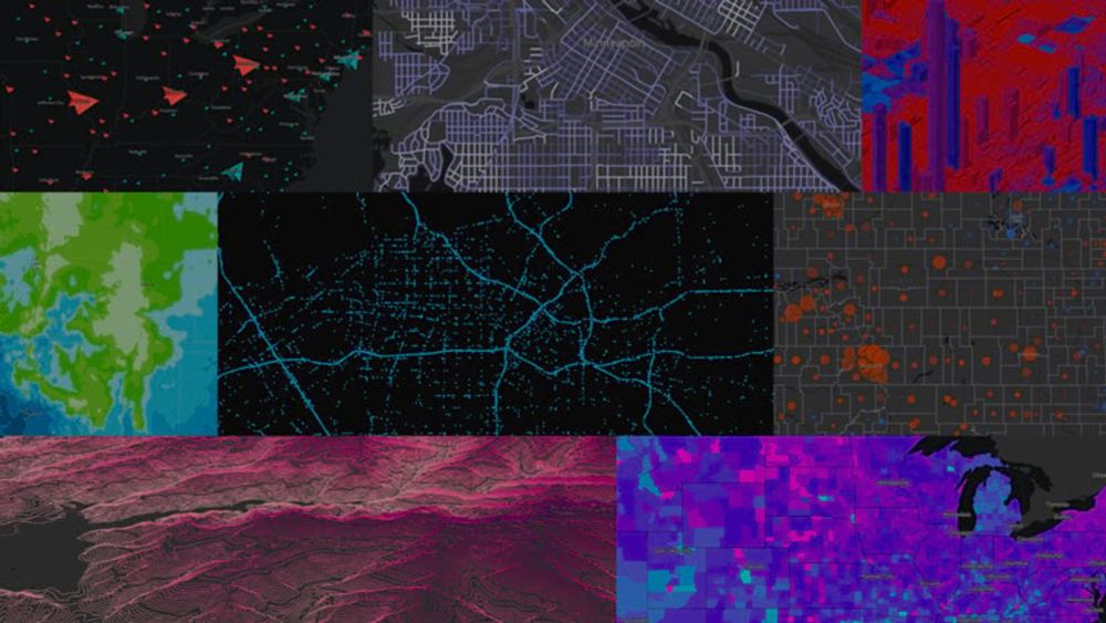
- Did you know that some of our key Antarctic topographic data is in Esri's Living Atlas? We regularly update these services so that your maps will always show the latest authoritative data! livingatlas.arcgis.com/en/browse/?q... For more info: www.bas.ac.uk/media-post/b...
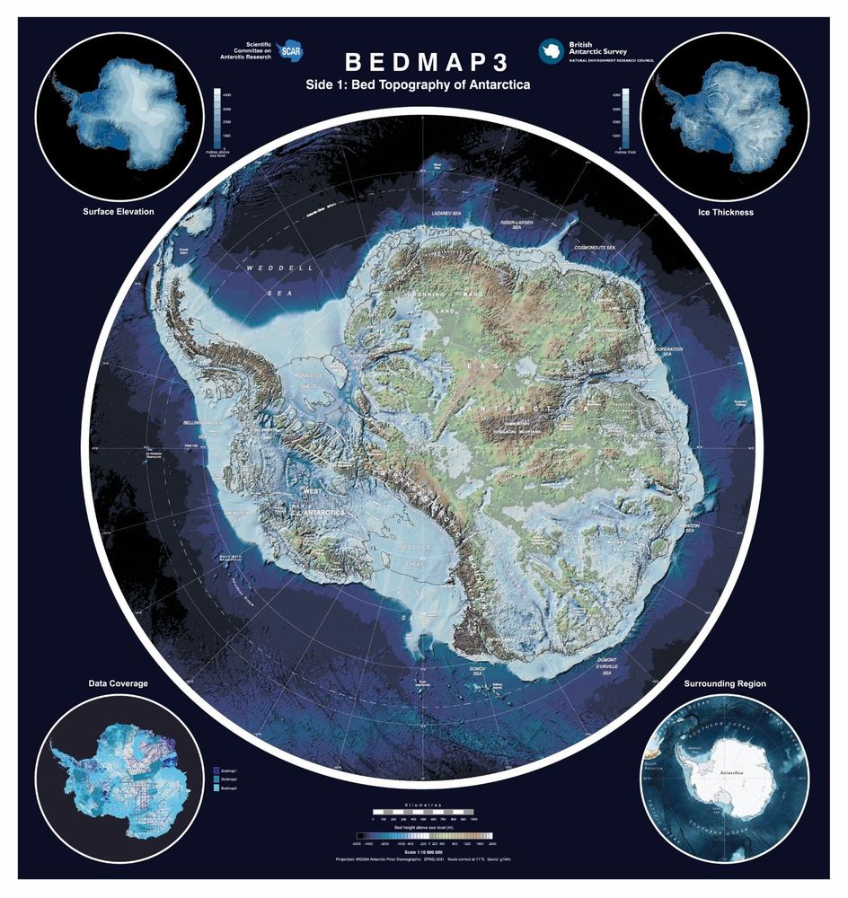
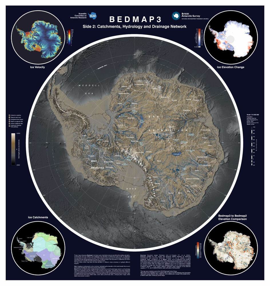
- Did you see the news about the release of Bedmap3? This fascinating dataset reveals the hidden surface beneath Antarctica's ice. ❄️ MAGIC has produced a double-sided printed map of the data, with a beautiful representation of the topography, and features including place names and subglacial lakes.🗺️
- Reposted by Mapping and Geographic Information CentreWe’ve just published the most detailed map yet of the landscape beneath Antarctica’s ice sheet (called Bedmap3), and we learnt some pretty cool facts about Antarctica that you can use to impress your pals. Ready? Graphic: Hamish Pritchard et al